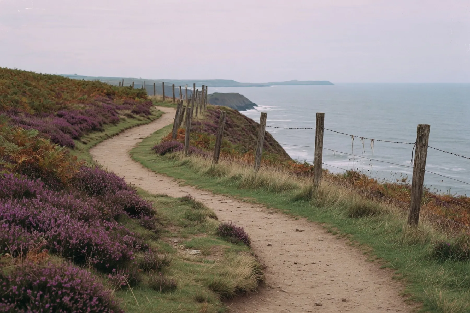
Most people who come to walk the Pembrokeshire Coast Path never walk all of it. They walk a piece and go back the way they came. That is not a failure of nerve. The National Trail runs 186 miles from the slipway north of St Dogmaels to the bridge east of Amroth Castle, with about 35,000 feet of rise and fall, and the official guidebook’s twelve days of roughly 15 miles each is a pace the National Park Authority itself calls challenging. Day sections are how the path is actually used. The Park’s own planner splits the same line into fifteen stretches, and it publishes around 200 circular walks that borrow pieces of it. The wider map — Preselis, islands, when to come — sits in the walks and when to visit pieces.
The National Trails route description and the Park’s planning-your-walk pages use the same mileages, north to south. St Dogmaels to Newport is 15.5 miles and the hardest of the lot: frequent very steep hills, and nothing between Poppit Sands and Newport Sands. Split it at Moylgrove if you are not already fit. The next stretches sit between 9 and 13 miles. Solva to Broad Haven has a run of very steep hills and up to 100 steps north-west of Newgale. Dale to Neyland and Neyland to Angle are 16 miles each and include the tidal crossings. Angle to Freshwater West is 10 miles with no houses and no amenities once you leave the village. Freshwater West to Broad Haven South is the flattest of the trail, which would be a gift if it were not a firing range. Skrinkle to Amroth, 14 miles, is the busiest of the whole route because of Tenby.
Those are the through-hiker’s days. The circulars below are the ones with a bus and a café.
The coastal buses exist so you can leave a car at the finish and walk towards it, or walk a linear stretch and not reverse it. In 2026 the summer services ran daily from 23 May to 27 September. After that date only the Coastal Cruiser keeps going, and only on a winter timetable. Confirm the day’s times on the council coastal-bus page or on Traveline Cymru before you commit to a last bus. In the countryside these services are hail-and-ride: stand by the road and flag.
The four that matter to a Coast Path day are the Puffin Shuttle (400, Richards Bros) between St Davids and Marloes, calling at Broad Haven, Little Haven, St Brides and Martin’s Haven; the Strumble Shuttle (404) between St Davids and Fishguard via Abereiddi, Porthgain and Strumble Head; the Celtic Coaster (403) around the St Davids peninsula; and the Coastal Cruiser (387/388, the council) around the Angle peninsula, including Stackpole, Bosherston and St Govan’s when the range is open. The north end is no longer the old Poppit Rocket: the council lists the 408 Cardigan–St Dogmaels–Poppit Sands, and Fflecsi in the Poppit zone, bookable on the app or on 0300 234 0300, Monday to Saturday. The without a car page is the rest of that network.
On Sunday 13 September 2026 the Cruiser is not running because of Ironman Wales in Tenby. The National Trust is also shutting the Boathouse Tearoom and Stackpole Reception that day. Check the organiser and the council page; it is a one-day closure, not a season.
This is the south’s best single day if you want cliffs, a beach you can only reach on foot, and water lilies without a long drive between them. The National Trust’s wildlife walk from Stackpole Quay is 6 miles and about four hours, graded moderate: steps up from the quay, Barafundle, Stackpole Head, Broad Haven South, the lily ponds and back over the Eight Arch Bridge. Dogs on a lead on the Warren and around the lakes. The Trust says the route is not for wheelchairs. A shorter Trust circuit of the Bosherston lily ponds is a mile and about half an hour; the landowner is explicit that it is not suitable for wheelchairs or powered mobility vehicles. The Park lists a Stackpole Head circular at 4.9 miles and two and a half hours.
Parking at Stackpole Quay, Broad Haven South, Bosherston and Stackpole Court is charged; National Trust members and Blue Badge holders park free. Confirm on the Stackpole page. The Cruiser stops at Stackpole Quay in season. Broad Haven South is the beach at the end of the ponds, not the St Bride’s Bay village of the same name.
West of Bosherston the limestone drops to St Govan’s Chapel, then to Stack Rocks and the Green Bridge. The Park’s bridleway between Stack Rocks and St Govan’s is 3.1 miles, with gradients it grades to the Fieldfare standard: all-terrain wheelchairs and robust mobility scooters, five difficult gates, adventure chairs preferred. That is the Coast Path’s honest wheelchair-graded stretch. It is also a firing range.
Castlemartin Range East is often open at weekends, on public holidays, through August, and on firing weekdays from about 4.30pm if there is no night firing. None of that is a promise. Red flags mean closed. Read the current Castlemartin firing notice on Gov.uk and ring the recorded line on 01646 662367 the day before. When the clifftop is shut, the Ministry of Defence’s Castlemartin Range Trail — tank waymarks, open all year — goes round the perimeter.
The Cruiser is the bus for this corner when it is running.
The Park’s Deer Park circuit from Marloes is 5.2 miles and two and a half hours, reasonably level, with 790 metres of minor road. Wooltack Point looks at Skomer and Skokholm. The Deer Park never held deer; Welsh mountain ponies graze it now. Seals pup on the beaches below from late August. The Puffin Shuttle is built for this day: ride to Martin’s Haven, walk the headland, pick the bus up in the village. Martin’s Haven is also the Skomer boat — the islands guide is the operational page; this one is only the walk if the Sound is up.
The Park’s St Davids Head walk is 4.9 miles and three hours from Whitesands: cliff edge, fields, livestock, Coetan Arthur, Carn Llidi, and the Bishops and Clerks out to sea. The Celtic Coaster and, in season, the Strumble Shuttle serve it. A there-and-back to the Head is shorter; the Park also lists Coetan Arthur at 2.7 miles. Keep dogs on leads at Upper Porthmawr. The St Davids piece covers the city behind you.
A linear of 3.6 miles and about two hours, with a steep drop into Porthgain. The Blue Lagoon — the flooded slate quarry — is at the Abereiddi end. Traeth Llyfn, between the two, has steep metal steps; parts of the beach cut off on a rising tide, and the Park warns of a strong undertow. Walk it north-to-south if you want the harbour and the hoppers as the finish, and take the Strumble Shuttle back. Do not treat this as a swim.
On the north coast, Dinas Island is a promontory, not an island. The Park’s full circuit is 7 miles and three and a half hours; the short circuit of Dinas Head is 3 miles and an hour and a half. Needle Rock holds razorbills in early summer. Cemaes Head, from Poppit, is 5 miles and three hours: the highest sea cliffs in the Park, and the trail’s high point at Pen-yr-Afr, 175 metres. There are still no services between Poppit and Newport Sands. Grey seals pup on the coves below from August into the autumn; stay on the clifftop. The 408 and Fflecsi are the tools for these two, not a remembered rocket. Do not stand at a stop in November waiting for a summer number.
Dale to Neyland is 16 miles on paper and longer if you get the tide wrong. Sandy Haven is passable two and a half to three hours either side of low water; the Gann, near Dale, three to three and a half hours either side. Both inlets are covered for more than six hours every tide. The Park puts just under 6 miles between them and tells you to allow about two and a half hours, starting as the first one drops. Tide tables come from the Port of Milford Haven; they are in Greenwich Mean Time, so add an hour in British Summer Time. The road alternatives are long. This is not a section to treat as a casual day unless you have read the table that morning.
Angle to Freshwater West is the other stretch that looks short and is not: 10 miles, remote on purpose, no phone coverage on most of it, no café. Carry water.
From 1 October 2026 to 28 May 2027 the only coastal bus the council lists for winter is the Cruiser, Thursdays and Saturdays, Pembroke–Angle–Bosherston–Stackpole–Freshwater East. The Puffin, the Strumble and the Coaster are summer services. Year-round you still have the T11 into St Davids, the T5 along the north, the 349 and 381 through the towns, and Fflecsi if you book it. Linear days that depend on a shuttle shrink to circulars from a car park, or they wait until May.
The path itself does not close. Cliffs are unfenced and undercut; in wind or on wet clay, stand back. Print the Park’s Coast Path Challenge leaflet if you are collecting the whole 186 miles over several visits. For a week in September, pick two of the days above, read the firing notice and the last bus, and leave the rest.