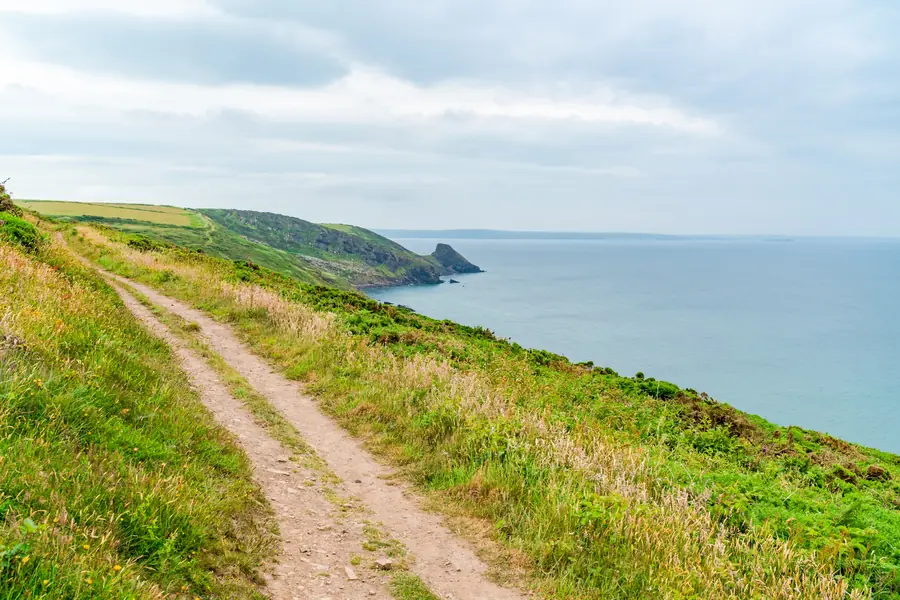
The Pembrokeshire Coast National Park was established in 1952 and is the only national park in Britain designated primarily for its coastline.
It covers about 620 square kilometres — the smallest of the fifteen UK national parks — but it is a strange shape: a long thin ribbon following the coast, plus the upper reaches of Milford Haven, the Daugleddau estuary and the Preseli Hills inland in the north.
The coast, which is the point. Around 420 kilometres of it, from Amroth in the south-east round to St Dogmaels in the north — cliffs, coves, estuaries, islands, dunes and 58 beaches.
The geology is exceptionally varied for a small area: Old Red Sandstone in the south giving red cliffs and sheltered south-facing coves, Carboniferous Limestone in the middle producing arches, stacks and blowholes, and ancient Precambrian and Ordovician rock in the north giving the dark, rugged headlands round St Davids.
The Preseli Hills — moorland rising to 536 metres at Foel Cwmcerwyn, with Neolithic burial chambers, standing stones, and the outcrops at Carn Menyn that supplied the bluestones of Stonehenge, dragged or carried 240 kilometres to Salisbury Plain.
The islands — Skomer, Skokholm, Grassholm, Ramsey and Caldey — which together hold seabird colonies of international importance.
Pembrokeshire’s seabird numbers are the reason biologists come.
Skomer holds around half the world’s population of Manx shearwater — several hundred thousand pairs, which come ashore only at night — plus tens of thousands of puffins in the breeding season, which is roughly April to late July.
Grassholm carries one of the largest gannet colonies in the world, over 30,000 pairs, and is visible from the mainland as a white rock.
Grey seals pup along the coast in autumn, and dolphins, porpoises and occasionally whales and basking sharks are seen offshore.
Choughs, peregrines and, inland, the full range of upland species.
Jellyfish appear in numbers in high summer — mostly barrel and moon jellyfish, which are harmless, though visitors are often startled by how many there are.
The Pembrokeshire Coast Path runs 299 kilometres from Amroth to St Dogmaels, opened in 1970, and is now part of the Wales Coast Path.
Its total ascent is around 10,700 metres — more than Everest from sea level — because it drops to every cove and climbs out again. Walking the whole thing takes ten to fifteen days. Most people do sections.
The best sections for a day: St Davids Head and Whitesands, the Stackpole and St Govan’s limestone coast, Marloes and the Deer Park, and the northern cliffs around Strumble Head.
Free. There is no charge to enter the park. Car parks, boat trips and individual attractions charge.
Busy: it gets crowded in high season, and the honeypot car parks — Whitesands, Barafundle, Broad Haven South — fill by mid-morning in August. Early starts and shoulder seasons transform the experience.
Bus: the Coastal Bus services — the Puffin Shuttle, Strumble Shuttle, Poppit Rocket and Coastal Cruiser — run along the coast in season and make one-way walks straightforward. They are the best thing about visiting without a car.
Safety: the cliffs are high and unfenced, the tides are large, and several beaches cut off completely. Check tide tables.
About 620 square kilometres — the smallest UK national park, and the only one designated chiefly for its coast.
299 kilometres from Amroth to St Dogmaels, with around 10,700 metres of ascent.
Roughly April to late July on Skomer and Skokholm, reached by boat from Martin’s Haven.
Yes — there is no charge to enter. Parking, boats and attractions charge separately.
Yes in season — the coastal bus network is designed for walkers and makes one-way routes easy.